ABOUT LYSEFJORDEN
Lysefjorden is a fjord located in the Ryfylke area in southwestern Norway. The 42-kilometre (26 mi) long fjord lies in Forsand municipality in Rogaland county, about 25 kilometres (16 mi) east of the city of Stavanger. The name means light fjord, and is said to be derived from the lightly coloured granite rocks along its sides.
It is particularly well-known by the huge Preikestolen cliff overlooking the fjord, which is a major tourist destination for the region. The fairly isolated village of Lysebotn lies at the eastern end of the fjord and the village of Forsand lies at the western end of the fjord near the Lysefjord Bridge, the only crossing of the fjord.

the CREATION

The size

The PEOPLE
Because of the inhospitable, mountainous terrain, the fjord is only lightly populated and only has two villages on its length – Forsand and Lysebotn, located at opposite ends of the fjord. There is a small farming area, Songesand, on the north shore of the fjord, about halfway between the two ends. That farm area is accessible by road from the village of Årdal over the mountains to the north. Besides that, there are a few other very small, scattered settlements along the fjord, but those are only accessible by boat along the fjord. There are no roads along the fjord since the sides of the fjord are too steep for roads.

IT´S PRETTY IMPRESSIVE…
At the Lyse plant, the water falls 620 metres (2,030 ft) to the turbines, producing up to 210,000 kilowatts (280,000 hp) of electricity. At Tjodan, the water falls 896 metres (2,940 ft) to yield an output of 110,000 kilowatts (150,000 hp).
The two power plants provide electricity for more than 100,000 people. A spectacular road which rises almost 900 metres (3,000 ft) through a series of 27 hairpin bends including a long hairpin tunnel inside the mountain is the only road access to Lysebotn from the outside world.
HOW TO GET THERE
There are several express boats and a ferry that corresponds with buses in on each side of the fjord you have to cross.
For bus and express boats, you can use the travel planner.
There are several ways of getting to Lysefjorden by car. From mid May until snow fall, you can drive over the mountain to Lysebotn in the end of the Fjord, and take the ferry/fast boat out to Forsand or Lauvvik. This ferry and fast boat require pre-booking when bringing your car. On this route, you will pass the starting point to Kjerag, Ørneredet.
Ryfast, the longest undersea road tunnel in the world, with its 14.3 km was opened in December 2019, and connects Stavanger with Ryfylke on the other side of the fjord. The 37 km from downtown Stavanger to Preikestolen Mountain lodge takes about 40 minutes by car. (Maps)
The whole year around you can also choose an alternative route taking the ferry 8 minutes over Høgsfjorden. This ferry departs every 30 minutes and does not require any pre-booking. (Maps)
Timetables to ferry.
Directions from Oslo to Lysebotn (end of Lysefjorden).
In the summer season from May to September, you can also take your car on the tourist ferry which goes in and out the fjord two times every day. Read more about this scenic fjord cruise here.
You can take a bus from both Sandnes and Stavanger for Lysefjorden, Forsand and Preikestolen Mountainlodge through the Ryfast tunnel.
Plan you jurney on this link.
It is also possible to get from both Oslo and Bergen to Stavanger by bus. This is propably the cheapest way of transport, but also the longest one. Lavprisekspressen goes between Oslo and Stavanger, and NOR-WAY from both Oslo and Bergen to Stavanger.
From Stavanger, you can choose bus to Lauvvik and take the ferry over to Oanes, or take the ferry from Stavanger to Tau. From Tau, there are are several busses taking you up to Pulpit Rock starting point. Go Fjords and Pulpit Rock Tours goes from Tau to Pulpit Rock, while Pelle’s offers bus transportation between Oanes, Forsand, Jørpeland and Pulpit Rock
Link: Time table and booking
From the train station in Stavanger, you can follow the other directions for car, bus or ferry to Lysefjorden, Pulpit Rock or Kjerag.
The Pink Ferry Dock
Stavanger Airport Sola
Find more information SVG
Fiskepiren Ferry terminal
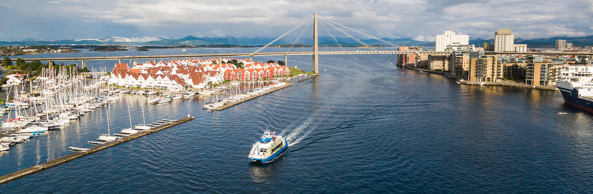
Stavanger Harbour, Vågen
This is also the place where you can go on fjordrafting in to Lysefjorden.