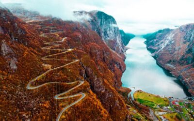
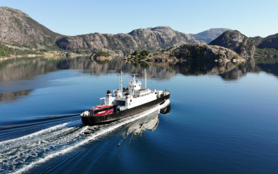
This is the story about Lasse from Denmark who decided to make the most out of his quarantine in Norway, before going offshore to work. Read all about his adventurous and challenging hike, and follow us on Facebook for episodes of the whole expedition which he also filmed…
Hi, my name is Lasse, and this is the tale of my little adventure, as I hiked around Lysefjorden from 6th – 11th of May 2020.
It all started when I had to go into quarantine prior to boarding the offshore drilling rig that I work on. As I live in Denmark, the requirement was that I had to stay 14 days onshore in the Stavanger area before travelling offshore, due to COVID-19 Virus precautions. The company that I work for had set me up in a small apartment in Sandnes. This was back in April – and it was awful: The first week went by fine, but by the second week, boredom really took over.
One day I went for a day hike and walked around the Gandsfjord heading for Dalsnuten – a 324 m high peak overlooking Sandnes. As I reached the top, all I could think was that I really didn’t want to head back to my gloomy little apartment; so I hiked on, going to the next peak, and the next. As the afternoon wore on, and since I didn’t have any gear with me, I was forced to head back. I took a long last look over my shoulder and wished that I could just go on forever… and then the idea hit me! Why don’t I plan a hiking trip during my next quarantine period?
I spent the rest of that period planning the hike around Lysefjorden. Where to purchase the map, where to get gas canisters, what foods to bring, etc. One thing I struggled with in my preparations was where to find weather data. Temperatures, precipitation, amount of snow, etc. – something that would come back to bite me in the a** later.
I spent a week relieving on a sister rig, followed by five days at home, and then it was time for me to come back up into quarantine. I arrived in Stavanger the 4th of May, made all of my purchases the 5th of May, and on Wednesday the 6th of May, I was heading for the docks in Stavanger, catching the ferry to Forsand.
I reached Forsand at two o’clock in the afternoon, and started heading out of town, walking in the direction of Vinddalen. I didn’t much feel like just sticking to the main road Espedalsvegen/Fv491 the whole way, so I turned left at the public swimming pool, heading up a small road named Haukalivegen and onwards on Oalandsvegen. While planning the trip I had discovered a small mountain pass that would take me back down to Espedalsvegen, saving me approximately 4 kilometers. It meant I would have to bushwhack across the pass as there was no trail – but all part of the fun…
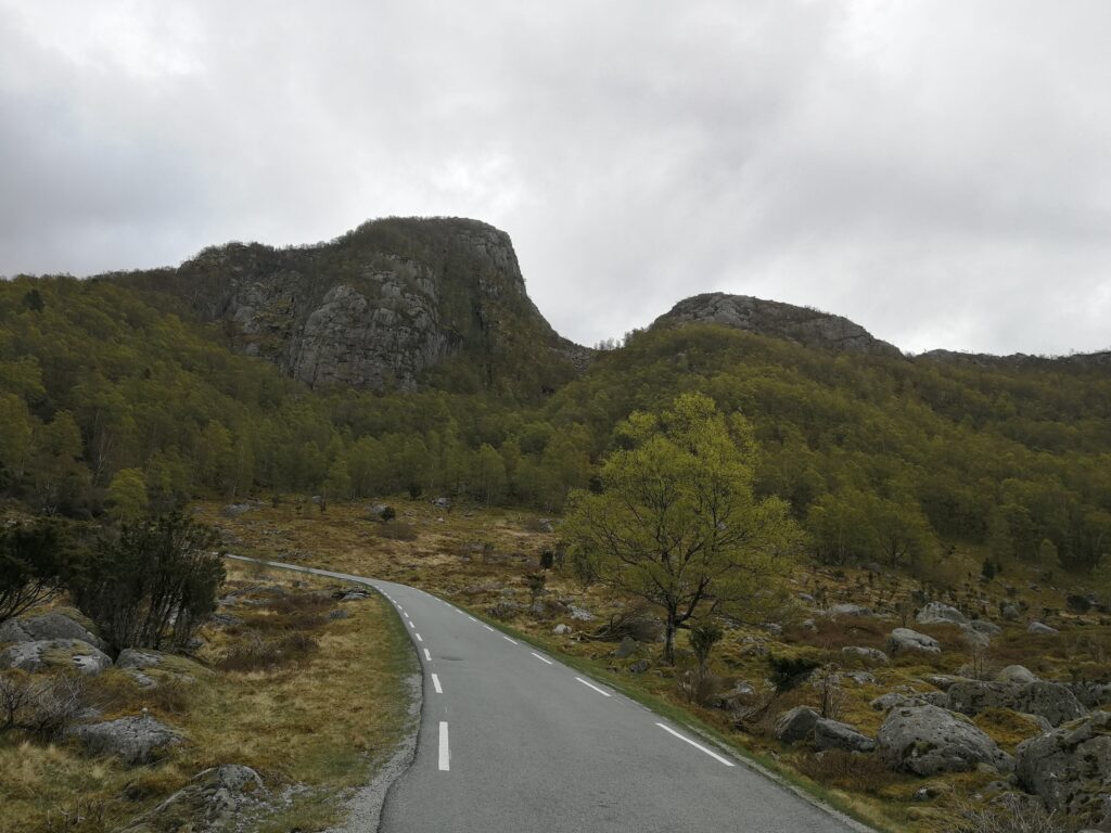
The mountain pass I had identified as a possible shortcut.
This turned out to be so much harder than anticipated. The terrain was big boulders covered in moss, making it really hard to see the gaps between the rocks. It was my first taste of leaving civilization, and I was having a blast.
I made it back down the other side and continued in a Northeasterly course up the Espedalsvegen heading for Vinddalen.
Impressive waterfalls were keeping me company as I steadily progressed, and I found myself in awe of this place. This was so much better than being stuck in an apartment!
Walking up the first part of the narrow and winding Vinddalen road, I thought to myself “Wow, this might be a cool place to visit on my motorcycle as well.” Whether on foot or motorcycle, this road would be equally entertaining, although in different ways.
The end of the road is where the trail starts in earnest. Leaving the road and heading up the trail with its frequent way markers, you follow the stream upwards. Water sources are never far away and my 1,65 liter water capacity was always sufficient. I’m sure you can drink straight from the streams, but I always used my Sawyer squeeze filter – better safe than sorry.
The terrain turned muddy and boggy, although a number of planks and walkways assisted in getting me through the worst. As I was walking through the beautiful landscape, this feeling of pure freedom overtook me – no bills, no e-mails, no commitments – just me completely alone in this spectacular landscape.
My plan was to camp at “Nye Skåpet.” I had read that all the shelters were closed due to the COVID-19 pandemic. This makes perfect sense since a shelter visited by many sweaty hikers could quickly turn in to a viral cookpot. I had, however, brought my own tent and just planned on using the campsite to pitch my tent. When I finally arrived, I discovered, much to my surprise, that there was no cell phone reception. I decided to push on heading for higher grounds as it was still light out.
I passed “Gamle Skåpet” starting to head West. I made it up a steep pass and came to a small plateau where a small patch of rock and dirt was protruding out of the snow. It was now 22:40 hours and I was ready to call it a day. Pitched my tent, cooked dinner, and as I was sitting there in complete silence, surrounded by the rugged remote wilderness, I just felt my heart and my mind slow down – such beauty, such peace…
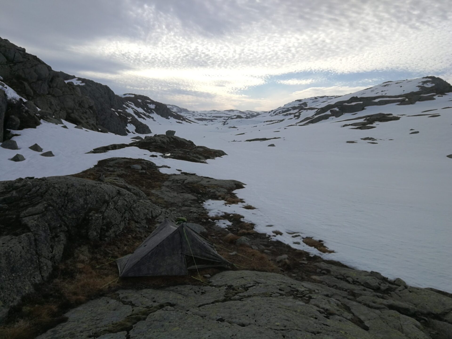
1st Camp site
During the night, I had to get up for a pee. The moon was large and brightly shining its light just above the ridgeline. I got my tripod out and took a picture with long shutter speed. What looks like the sun, is actually the moon.
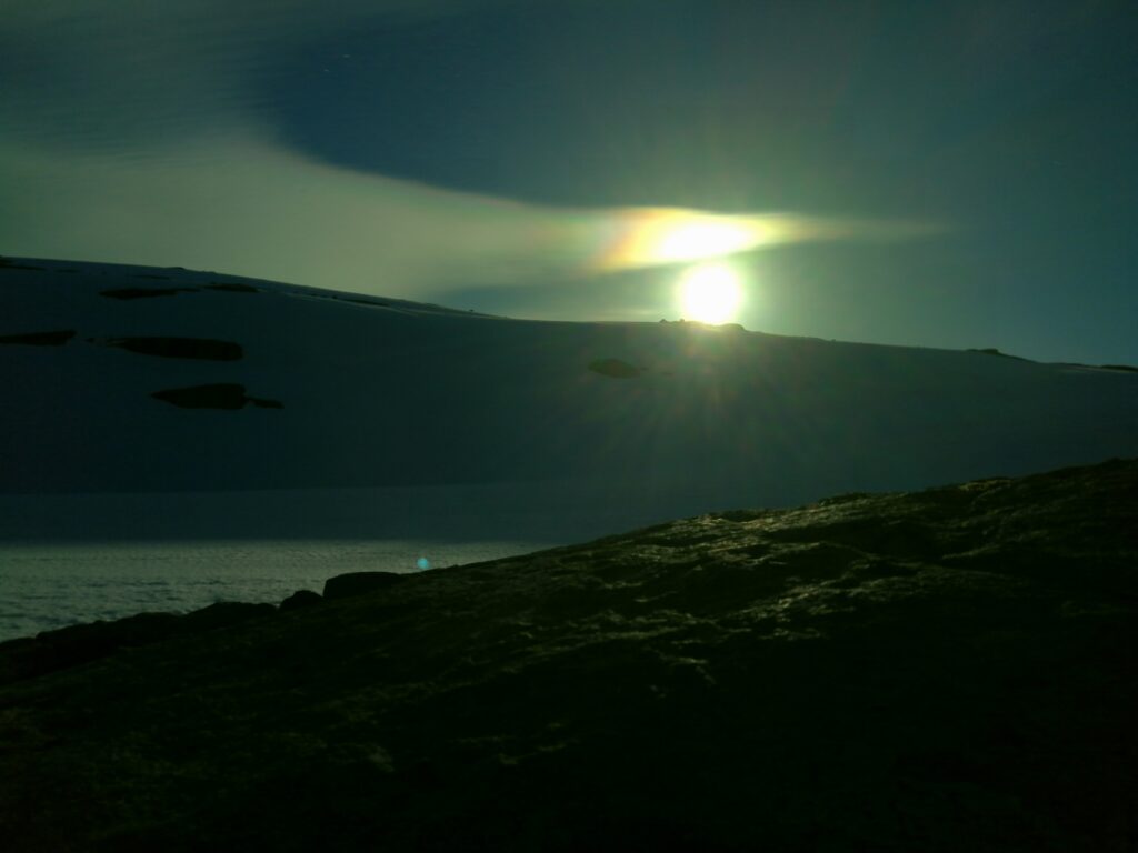
The Moon – Big, bright & beautiful
The next day I continued towards Flørli. I was now up in an elevation around 800 meters and there was plenty of snow. The temperatures were quite low, and the snow fairly compact. Besides, someone else had walked there before, and I was able to follow in their footsteps. All this made for relatively easy progress and I was just trotting along enjoying the beautiful and remote landscape.
The trail started veering from a westerly course to a northerly course while at the same time going downhill. The trail does leave the opportunity for bypassing Flørli, so you don’t have to first walk downhill, just to walk back up all those steps, those famous 4444 wooden Flørli steps. However, I figured that they are part of the experience, so I continued downhill. Due to all the water coming from the snow melt, it became extremely muddy and boggy and soon I was covered in mud up to my knees.
Good thing I wasn’t going to a dinner party that night. ?
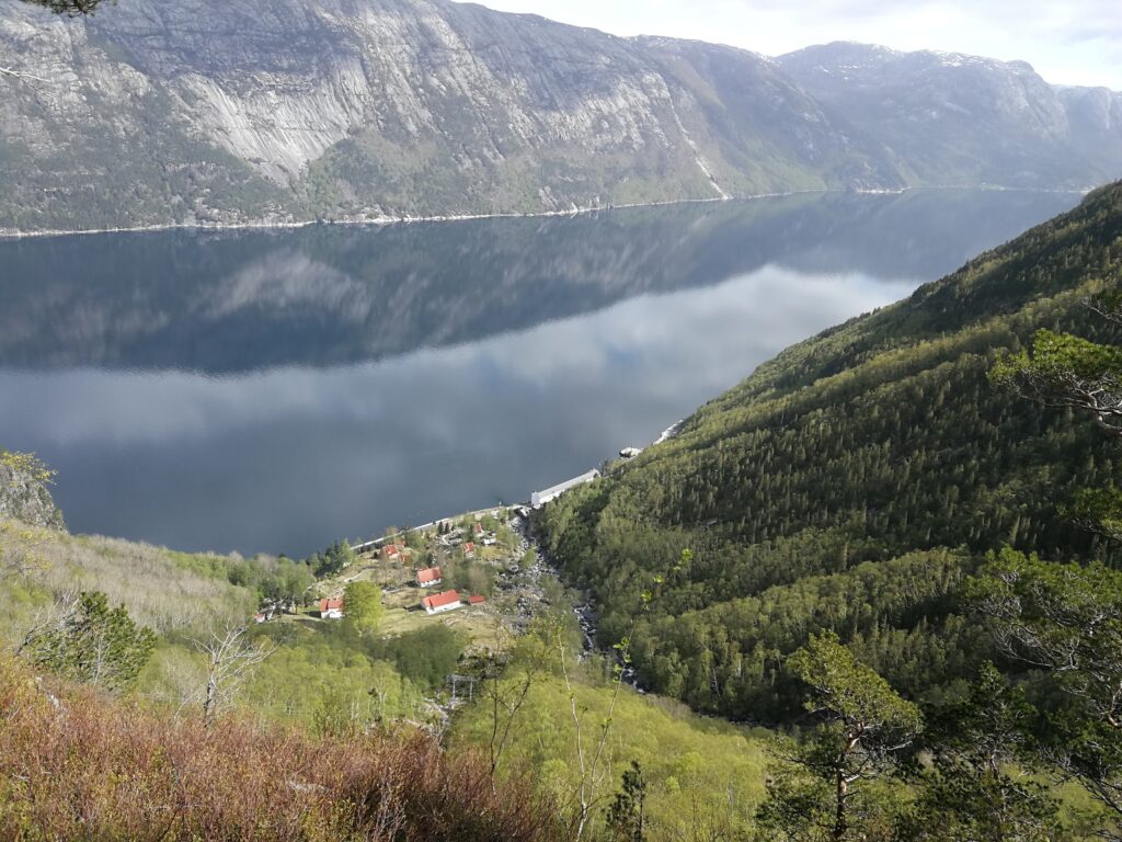
Overlooking Flørli and Lysefjorden
I made it down to Flørli and stopped for lunch. There are benches right at the edge of the water, and I was able to sit there enjoying the views while eating. After lunch and a quick power nap, I started making my way up the stairs. At 500 step intervals, there are little signs on the steps telling you how many you’ve reached. The jury is still out on whether that’s an encouragement or not. At first, it doesn’t seem that way, when you’ve only reached the “500” or the “1000” sign, but after a while you start seeing the light at the end of the tunnel.
Near the top, the steps were covered in snow. This made it hard for me to see if I was actually placing my foot on a step or not, and I was getting a bit worried about twisting an ankle. Luckily, I made it to the top alright.
I was now up in 750-800 meters again, with plenty of snow – the difference being that during the afternoon it had gotten warmer and now the snow had the texture of Slush Ice. This Slush Ice wouldn’t support my weight and I kept sinking in. Progress varied a lot during the afternoon and evening. Sometimes I had to cross these huge snowfields and nearly came to a grinding halt as I kept sinking in, and other times I was able to walk across the naked rock face making good speed.
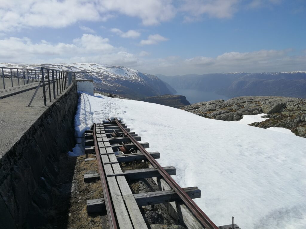
Reaching the top of the Flørli steps
When crossing the snowfields, all the way markers were hidden below the snow. I had downloaded the GPS tracker on my phone but wanted to conserve battery, and primarily navigated by map & compass. This made navigation harder, but also more gratifying whenever I came across a way marker that confirmed I had gotten it right. Only once did I make a wrong turn, but this was soon discovered, and I was quickly back on track.
Another navigational issue I was facing was that between Ternefjellet and Låtervikjuvet you are passing quite a few lakes. These lakes were all covered in snow, and it was hard, if not impossible, to distinguish where the brink was. I didn’t want to accidentally punch through the ice covering the lakes, so I kept well up on the side of the slopes.
I was circumventing one of these lakes, plodding along, focusing on navigation, enjoying the scenery, deep in my own thoughts when all of a sudden, the snow disappeared below me, and I felt myself fall into a gap that opened up below me!

The gap I fell in. The rock which is visible, is the backside of the gap. The bottom is not visible on the picture
Arresting the fall was my backpack and my arms. My feet were dangling below me as I was trying to fight falling further in. I was afraid any sudden movements would make the gap cave in even more, and I crawled, ever so slowly, out of the hole. A quick snapshot photo and I was outta there, bringing myself to safety.
Marcus Aurelius once said: “It is not death that a man should fear, but he should fear never beginning to live.” Well as I continued, I felt very much alive.
That experience was more efficient than any double espresso I’ve ever had in getting the blood rolling. Again there was no cell phone reception, and all I had to rely on was what was between my ears and in my backpack. I kind of prefer it that way, but maybe a Garmin Inreach Mini or similar would not be a bad idea. At least now I know what I want for Christmas…
After taking a deep breath and checking my underwear, I was soon underway again.
Navigation was still difficult, and progress was slow due to snow and frequent map consultation. It was now past 20:30 hours in the evening and I was getting tired and cold. I came to spot where I was a bit uncertain which pass to head up, so I decided to sleep on it, and camp for the night.
On some of these little “Rock Islands” protruding out of the snow, the rock is covered in a thin layer of dirt, moss and vegetation. Just enough to get your tent stakes to bite, and the moss/vegetation actually makes for a fairly cushioned place to sleep.
After getting my dry sleeping clothes on, cooking a hot meal and a sip of Scotch Single Malt I was soon sound asleep.
Next morning, I ate breakfast, broke camp, and made a qualified guess on which pass to head up. Banks of fog came and went, and the cold damp air kept breaks short and efficient. I fought my way up the pass in the heavy snow, and much to my relief spotted a red “T” painted on a rock – I had taken the right route.
If I thought day two had been hard, it was nothing compared to day three. I have done kickboxing, CrossFit and marathons, but never in my life have I tried anything this physically taxing. The temperatures were above freezing and the snow had started to melt. It had the feeling of Slush Ice again and with each step, I was sinking into my knees and sometimes deeper. When pulling my feet out of the deep holes that I had made, it felt like fighting a vacuum that was pulling on my feet. I could have killed for a pair of snowshoes. I now regretted my lack of capability in finding reliable weather data when planning the trip.
I later found out that this year (2020) the snow had fallen quite late in the year and in large quantities. During one particular stretch I kept sinking in to my waist, and eventually I had to grasp hold on the center of my trekking poles and start crawling across the snow in an attempt to distribute my weight better. It took me three hours to traverse two kilometers! Considering my plan was to camp at Lysebotn that night, this was going to be a long day. In a situation like this, there’s only one thing to do: Keep yourself well hydrated and energized with plenty of water and protein bars, place one foot in front of the other and just switch to autopilot. There’s only one way to eat an elephant – one small bite at a time….
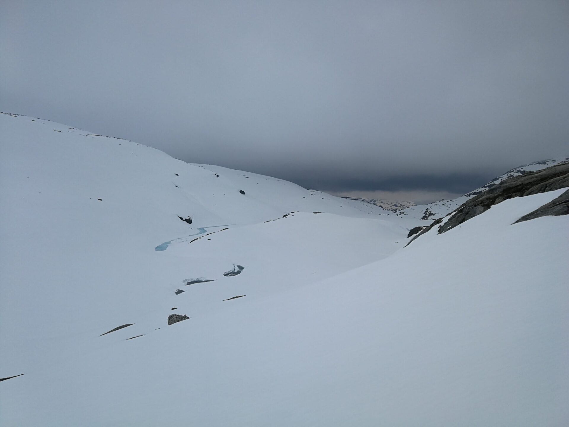
2 kilometers in 3 hours. This is hard going – My Kingdom for a pair of snowshoes
In my experience, this is the most remote and rugged part of the route. You are up above 1000 meters of elevation and the magnificent majestic mountains are simply stunning and very, very humbling. I was just a tiny speck in this huge white expanse. I didn’t see a single living beast besides myself, until I saw a tiny little spider crawling on the snow. Nature is amazing…
I hiked on, passing Låtervikvatnet and switching to a northeasterly course. Another fog bank rolled in and at the same time, it started to snow. The whole world turned white and visibility dropped to a few meters. In this eerie white landscape, your vision is robbed of any depth perception, which made me feel sort of dizzy. I looked at my compass, walked 50 steps, looked at my compass again, corrected my course and took another 50 steps – and on and on. Every now and then I got my phone/GPS out to confirm I was still on the right track (your phone GPS will work without cellphone reception).
Eventually the fog and snow cleared and visibility returned. I was following a valley where, on my map, was pictured a stream/river/creek in the bottom of the valley. I stayed up on the side of the slopes, not wanting to accidentally step out on the snow/ice hiding the stream.
I suddenly noticed what looked to have been a small avalanche near the top of the ridge. I got my phone out and took a few pictures. As I put my phone away and prepared to continue, a wall of ice came crashing down above and in front of me. This day was indeed full of challenges! I adjusted my route to stay clear of the ice blocks, but also not too far towards the valley floor, and plodded on.
Normally when I give myself a challenge or have an objective, I can’t let go of it. Come hell or high water, I’m going to see it through. And if, for whatever reason, it is unobtainable, that really troubles me. “Pain is nothing compared to what it feels like to quit.” The Kerag Bolt was part of my objective. It also meant an extra 3-5 kilometers compared to just keeping on the northeasterly course. This doesn’t sound like a lot, but when it takes three hours to traverse two kilometers, it put things in perspective. It was getting late in the afternoon and I was exhausted. I continued northeast, bypassing the Kerag Bolt. That would have to wait for another day. Surprisingly I didn’t have the sense of “quitting.” The choice was not made by me – it was made by nature. My objective had shifted from looking at a rock, to getting myself to safety down below the snow line and recuperating.
I passed the beautifully made Kjerag Emergency Shelter and continued towards Øygardsstølen. When I came down there everything was closed down. The road was blocked with snow, but I was able to walk along the concrete edge of the road where the snow had melted. I finally had firm ground underneath me.
As I continued down the road towards Lysebotn (another awesome road for a motorcycle trip), I felt a burning sensation from both my ankles. I stopped to check, and it turned out that the abrasive nature of the “Slush Ice” had rubbed my ankles raw (note to self – wear gaiters next time). I had been so hard-pressed during the hike through the snow that I hadn’t noticed. I got my ankles taped up and continued downwards, walking through the impressive Lyse tunnel, half expecting to bump into Cinderella and the seven dwarfs. Disappointingly, I did not, but instead I found a level campsite at a turn in the road overlooking the bottom of the fjord. It even had a small table with a bench.

Camp site overlooking Lysebotn
Sitting there contemplating the day’s ordeal while eating my dinner, I felt proud of having pulled through, blessed having experienced the rugged nature of the mountains and just a little bit annoyed that I had been forced to bypass the Kerag Bolt. A swallow of Single Malt made me feel a little better. ?
The next morning, I slept in, and had a late start on the day. My body was aching, and my left shin was hurting. I had caught a case of shin splints that lasted for the remainder of the hike. Some vitamin I (Ibuprofen) and I was underway. The majority of this day’s walk would be on asphalt roads or well-defined trails. This suited me just fine, as I had had my fill of snow. Here I didn’t have to watch my footing and could just let my mind wander and take in the scenery.
Creeks and streams were in abundance as the road snaked its way up the mountain. The views were spectacular, and I was thoroughly enjoying myself. I stopped for lunch at Storatjørna, treating myself to some hot noodle soup.

Lunch
Looking down on Fyljesdalen, it’s mind-blowing imagining that several families used to live here back in the day, given how remote it is. I made it down into the bottom of the valley before heading up the pass between Skardknuten and Svalafjellet. From here on out, it would be downhill for the rest of the day as I followed the floor of Dala Valley.

Fyljesdalen/Fyljes valley
It was extremely muddy and boggy as I came down below the snowline and I was soon covered in mud. Here I also had difficulty following the trail. Not that it mattered navigational wise; you just follow the valley downhill, but it made me end up in even thicker mud.
I came to a water crossing, where someone had suspended a blue rope to hold on to, leading across the river. I thought to myself, “Yeah this should be easy,” and started to cross. Little did I know how slippery the rocks were, and before I knew it, I felt my feet slip under me and I plunged into the ice-cold water. I didn’t say “Beep Beep” but I was just as quick as Roadrunner getting to my feet. I made it across the other side soaking wet and couldn’t help but laugh at my own clumsiness.
Eventually the trail grew into a fairly wide, even and clearly defined gravel/dirt road. It was once again time to switch the attention away from where I was placing my feet and just enjoy the scenery and let my mind wander.

Daladalen/ Dala valley
I passed Songedalen, Fjellgard and Helmikstølen before finally finding a good place to camp just past Moen/Hatleskog. I was a bit unsure if I was on private or public land and whether I was allowed to camp there, so I pitched my tent discreetly between the trees. It had been a good and efficient day. I had hiked around 30 kilometers.

Impressive Outhouse encountered along the way
During the night, it rained a lot, which was quite noisy on the tent canopy. Another mental note for next time: Bring ear plugs.
The next morning, I got up, ate breakfast and got started on my fifth day of hiking. I hadn’t had the best of sleep and my left shin was hurting, but otherwise morale was good.
How could it not be, surrounded by spectacular scenery like this? ?

A day with very mixed weather
Between Songesand and Bakken Gard, you follow the coastline. The trail is quite technical at times, walking on loose boulders and rocks. The weather was strange, alternating between sunshine, hail, rain, and cold winds. The rain and the hail made the loose boulders slippery as well, and I really had to pay attention to where I placed my feet. This is where trekking poles are really beneficial, as they allow you to have 2-3 points of contact rather than just one.
At Bakken Gard I stopped for a quick break before veering away from the coastline, heading into the beautiful forested mountains, only to come back out to the coastline as the trail weaved back and forth. The rest of the day I followed the coastline alternating between enchanted forests and windswept mountain tops. It felt like walking through a fairytale and I wouldn’t have been surprised if I had run into Frodo and Gandalf coming around a bend on the trail.
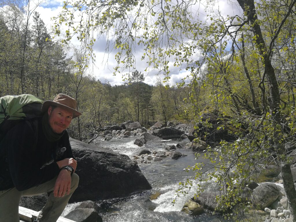
Enchanting forests
Sometimes reality outperforms fantasy, and it was with fascination that my eyes followed a large eagle gliding across the skies. Just above and behind it was a smaller raven. The raven constantly harassed the much larger bird, and with cunning maneuvers, constantly kept its position above the eagle. This display went on for a good five minutes before they both disappeared.
As I continued, it made me think of the old Nordic legend where the Jotun Tjasse and Loke raced across the skies in their Bird Moults before the Gods of Asgaard finally set fire to Tjasse.
I finally reached Pulpit Rock at 19:30 hours. It was completely void of people and I had it all to myself. Stunning views and a breathtaking precipice meet anyone who ventures out there. I got on my stomach and wormed my way out to the edge, feeling thankful that no one else was around to witness my pathetic attempt at getting some footage from the edge of the cliff.
After a while of just enjoying the majestic scenery, I started heading for Pulpit Rock Basecamp. I remembered from a previous visit that there was a restaurant down there. My mouth began to water as I started fantasizing about a big juicy burger with a mountain of French fries.

An empty Pulpit Rock
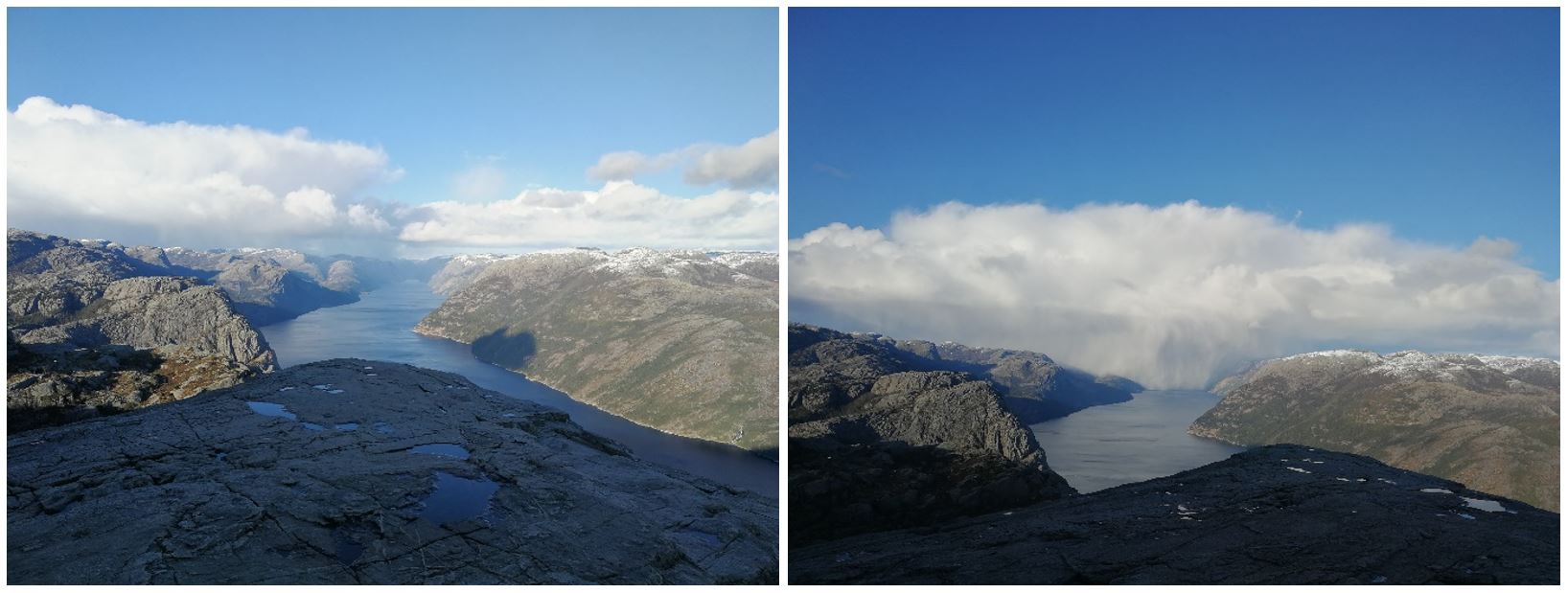
The weather can quickly close in
My pace quickened as I looked at my watch. It was nearly nine o’clock in the evening. I finally reached the Basecamp ten minutes past nine and quickly spotted “Hikers Café.” Locked on target I steered towards the café, but 100 meters out from my target I watched in horror as the lights were switched off! I ran the last distance and barged into the café. “Are you closed?” The nice lady behind the counter confirmed my fears, but still asked if she could get me anything. A burger was unfortunately out of the question, so I settled for an ice cream. She also confirmed that everything else was closed due to COVID-19.
Enjoying my ice cream, I wandered around the place trying to find a good spot to pitch my tent. Instead, I saw a big yellow teepee. Since no one else was around, I thought it would be okay for me to borrow that for the night. I inflated my air mattress, unfolded my sleeping bag, and after a hot meal I went to bed. Unfortunately, it proved impossible to fall asleep. Whether it was from exhaustion or the night being unusually cold, or perhaps a bit of both, I was shaking like a leaf. Around midnight I finally gave up. I got out of my sleeping bag and started a fire in the fire pit in the center of the teepee. This did the trick and about an hour later, I went back to bed and fell asleep.
I slept in the next day and had a late start on this sixth and final day. I packed up my gear and headed towards Forsand via Gryteknuten, Ulvaskog and Hatten before turning left on the main road and walking across the bridge back to Forsand. This part of the journey was just as enchanting as the rest had been, walking through forested mountains. It was fascinating to see the replica hut, in Ulvaskog, that the Norwegian resistance group had used during the Second World War. Imagine living in a small hut like that in the middle of the forest, having to be constantly alert.

The interior of the hut used by the resistance group during Second World War.
As I came out on the main road Ryfylkevegen/13, I knew this meant I had reached the end of the empty trails and the remote wilderness. I now only had to make it back across the bridge and into Forsand.
I reached Forsand exactly 6 days and 1 hour after arriving with the ferry from Stavanger.
What an adventure!
I had seen a few day hikers in the Pulpit Rock area but otherwise I hadn’t met a single soul. Being out there, completely cut off from civilization had been fantastic. I had taken “social distancing” to the max and in the process, I’d had an experience of a lifetime.
Who knew that just an hour drive away from the third largest metropolitan area in Norway you could find such mind-blowing beauty and rugged, remote wilderness?
If you have actually taken your time to read this to the end – I thank you…
Now go hike! ?

Lassen Jensen
About me..
I was born in 1975 and I am currently working as an Offshore Installation Manager for Maersk Drilling Norway.
My passions are ultralightweight backpacking and motorcycle riding. I have, amongst other trails, hiked the GR221 “Ruta de Pedra en Sec” on Mallorca, the Menalon Trail in Greece and section hiked the Sentier Cathare in France.
The Lysefjorden hike was however my first hike in winter/snow conditions.

